
Falmouth ZIP Code Coverage
Falmouth is a town with a village and post-office network, not one uniform postal area. The Barnstable County villages and ZIPs reference supplies the local village pairings, while USPS assigns ZIPs to delivery points. That distinction explains why a Falmouth ZIP code directory needs more than a single entry. The list below preserves the county and USPS material without treating a ZIP as a municipal boundary or a household count.
| ZIP | Areas Covered | Post Office | Notes |
|---|---|---|---|
| 02540 | Falmouth and Falmouth Village | Falmouth Main Post Office, 120 Main Street | Standard delivery ZIP under the county's Falmouth heading |
| 02541 | Falmouth postal last-line pairing | USPS Falmouth labeling route | Paired with 02540 in USPS labeling; verify each address |
| 02550 | Falmouth Heights | Village postal service | County village ZIP; confirm delivery point with USPS |
| 02551 | Hatchville | Village postal service | County village ZIP |
| 02556 | North Falmouth | North Falmouth Post Office, 634 N Falmouth Highway | Distinct North Falmouth post office |
| 02565 | Silver Beach | Village postal service | County village ZIP |
| 02536 | Teaticket and Wequoit; East Falmouth facility area | East Falmouth Post Office, 451 E Falmouth Highway | County pairs Teaticket and Wequoit with this ZIP |
| 02574 | West Falmouth | West Falmouth Post Office, 410 West Falmouth Highway | Distinct West Falmouth post office |
| 02543 | Woods Hole | Woods Hole Post Office, 16 Water Street | Nearby USPS last-line information can show Falmouth 02540-9998 |
| 02636 | East Falmouth village label | Address-specific postal service | Postal boundary or acceptable-city mismatch is possible |
These ten ZIPs are different postal labels, not ten town districts. The 02541 pairing should not be drawn as a clean area, and the Woods Hole result demonstrates why a nearby facility page is not enough to settle a mailing address. Falmouth's townwide voter totals are not ZIP totals, and no official per-ZIP population figures were identified in the research. Note: Use the exact delivery address before assigning a ZIP to a person, parcel, or village.
Falmouth Village ZIP Code Network
Woods Hole, Teaticket, Wequoit, North Falmouth, West Falmouth, Falmouth Heights, Hatchville, Silver Beach, and East Falmouth can all affect a postal search. A municipal record may use a Falmouth situs address while a historical source uses a village label. The county's listing places Woods Hole at 02543, Teaticket and Wequoit at 02536, North Falmouth at 02556, and West Falmouth at 02574. It also identifies 02550 for Falmouth Heights and 02551 for Hatchville.
This geography is a practical research issue. A name search in a historical notice may use Woods Hole, while the present delivery label in another source uses Falmouth. Keep both the street address and the village wording in the research notes. The town's GIS, historic district maps, road atlas, and parcel geometry can bridge those labels. A postal label alone cannot settle whether a location falls within a particular municipal, precinct, flood, or historic boundary.
Verify Falmouth ZIP Codes With USPS
USPS is the delivery-point authority for an address. Enter the full street address in the USPS ZIP Code Lookup, then preserve the returned ZIP and ZIP+4 as a mailing result for that address and date. Do not substitute a townwide list or a map polygon when an exact delivery answer is needed. The lookup is especially important for the Falmouth, Woods Hole, and East Falmouth labels, where a place name can be less precise than the delivery assignment.
Use the USPS Falmouth ZIP lookup source to verify a delivery point. 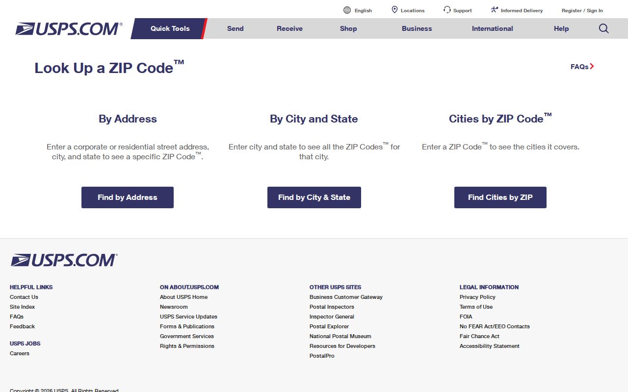 The form is the appropriate first check before searching Falmouth records by street or parcel.
USPS describes ZIPs as delivery geographies rather than municipal boundaries. Its ZIP Code basics explanation provides the rule behind that distinction. 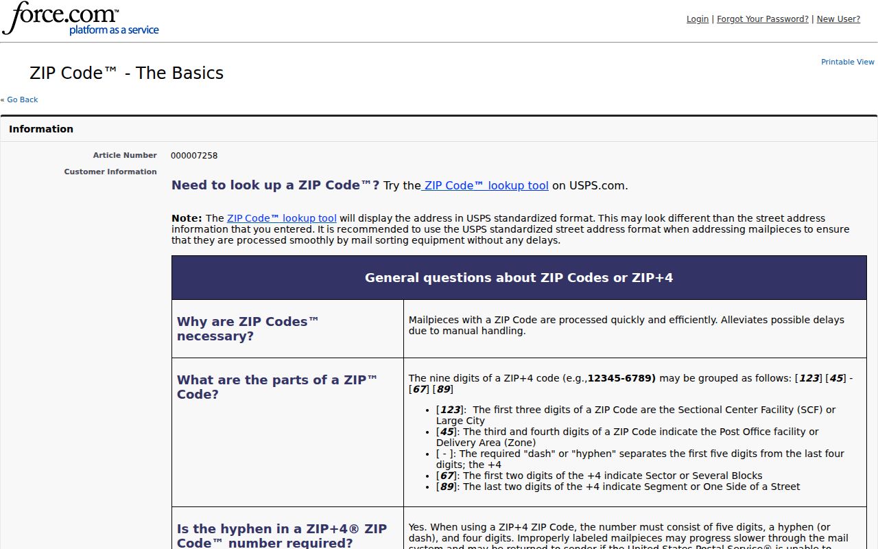 The boundary reminder prevents a mailing ZIP from being mistaken for proof of town limits or residence.
Falmouth ZIP Code Search Workflow
A ZIP is useful for organizing a search, but Falmouth's key local systems are address or parcel based. WebPro does not show a visible ZIP field in the inspected form. PermitEyes is also keyed to address and parcel. The legacy GIS has no visible ZIP search box, although its map and polygon context can help place an address. A Falmouth ZIP code directory therefore moves from an exact postal result to a street, parcel, or named record rather than promising a broad ZIP browse.
- Validate the full address with USPS and write down the returned delivery ZIP.
- Open the Falmouth legacy GIS viewer or MapGeo to locate the address and view relevant map layers.
- Use the street number, street name, owner, or parcel in Falmouth Assessing WebPro to reach the property record.
- Check PermitEyes by parcel or street when an address-history record is relevant, remembering that most Health files before August 8, 2022 require an email request to health@falmouthma.gov.
- For street-by-street records after the ZIP narrows the area, follow the Falmouth street directory workflow.
Each source has a different key. A parcel ID is an assessor identifier, the situs address is the physical location, and an owner mailing address may be elsewhere. A ZIP result should organize the next search, not replace those distinctions.
Falmouth ZIP Code Portal Fields
The Massachusetts voter-status service accepts a ZIP, but it is an individual verification tool, not a general name list. The submitted identity must match the registration record. It can report registration or pre-registration status, active or inactive status, polling location, and state and federal elected officials. For local public voter records, use the Falmouth Town Clerk request route in a lawful, specific form; the statewide file is not a public record.
| Field label | Type | Required | Format or result note |
|---|---|---|---|
| First Name | Text | Yes | Name supplied at registration; name variants may matter |
| Last Name | Text | Yes | Name supplied at registration |
| Month, Day, Year | Dropdowns | Yes | Full date of birth |
| ZIP Code | Five-digit text | Yes | Residential ZIP at which the person qualified to vote |
| Agreement | Checkbox | Yes | Required before submission |
The official My Voter Registration Status form and voter-information access guidance set those limits. Someone who recently moved may need to try the former ZIP or contact local election officials after allowing two or three weeks for a new registration to appear.
Falmouth ZIP Code Boundaries
ZIP boundaries and town limits are different systems. USPS does not maintain an official ZIP Code boundary map, and the MassGIS ZIP layer is an approximate polygon layer aligned in 2018. It should not be confused with a Census ZCTA or a municipal line. Falmouth GIS is useful for parcel, zoning, historic, voter-precinct, utility, flood, and aerial layers, but a map layer remains a context tool until an official record is checked.
The MassGIS ZIP Code layer documentation is the source shown below.
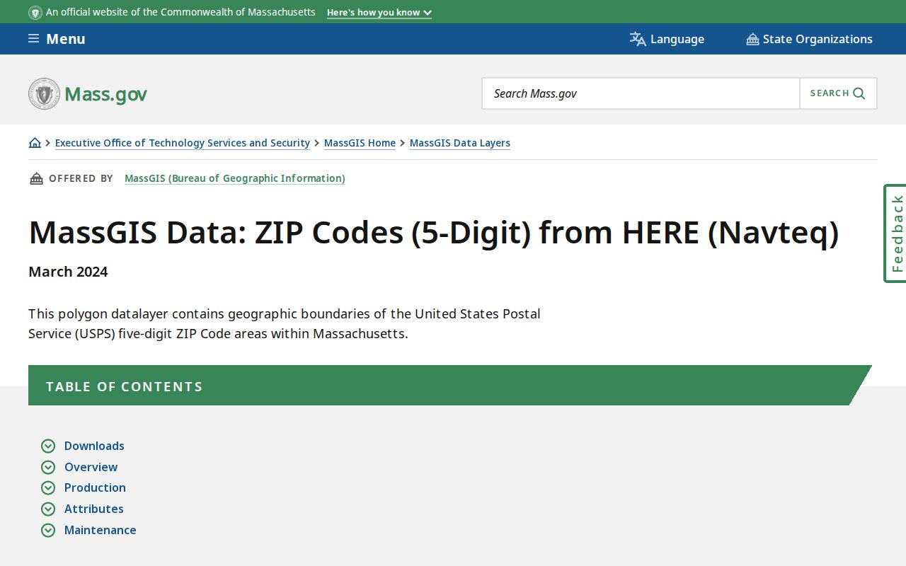
The layer can help place a Falmouth address in map context, but it cannot replace USPS delivery verification or an official parcel record.
Falmouth's 1687 Main Street layout, village history, historic districts, and water-facing communities add more label changes over time. Bridge an old address with road atlases, historic maps, deed legal descriptions, and parcel geometry. ZIP matching is strongest at the delivery-point level and weakest when used to infer a town limit, a household, or a record jurisdiction.
Falmouth ZIP Code Records by Address
After USPS supplies the delivery ZIP, switch to the local key each record system expects. WebPro searches owner, street name and number, parcel, building type, value, land-use code, sale date, and book/page. Its result sheet can tie a parcel to a situs address and owner field, but the visible result row did not expose an owner mailing address. Open the detail record or contact Assessing rather than treating the situs as a mailing address.
The Town of Falmouth GIS keeps spatial layers, including parcels, roads, ZIP codes, and voter precincts. Barnstable Registry title work is name based, even though its address query is a convenience search and not the official index. For a deed trail, start from the assessed parcel, then verify grantor and grantee names, document type, recording date, book/page or document number, legal description, and image in the Barnstable deed search. This division of labor protects against overreading a ZIP result.
Falmouth ZIP Code Terms
Postal and land-record vocabulary overlaps, but the terms do different work. Use the definitions below when comparing an address result with GIS, assessor, or deed information. They keep the Falmouth ZIP code directory focused on a verified delivery area while leaving title and parcel questions to their proper records.
- ZIP and ZIP+4
- A five-digit delivery area and its more specific four-digit extension. USPS confirms both from the full delivery address.
- PO-box ZIP
- A postal label associated with post-office box service or a related last-line pairing. It should not be mapped as a neighborhood boundary without postal confirmation.
- Unique ZIP
- A ZIP assigned to a single organization or high-volume recipient. No Falmouth unique ZIP was identified in the research.
- Carrier route
- A delivery-sequence grouping used by postal operations. It is not a municipal district or a public resident roll.
- Situs address
- The physical parcel location used in assessor and property records. It can differ from an owner's mailing address.
For postal confirmation, return to USPS. For a parcel or boundary question, use Falmouth GIS and the county land records. Note: Do not use a ZIP, parcel, or historical label to pursue protected addresses or to harass another person.